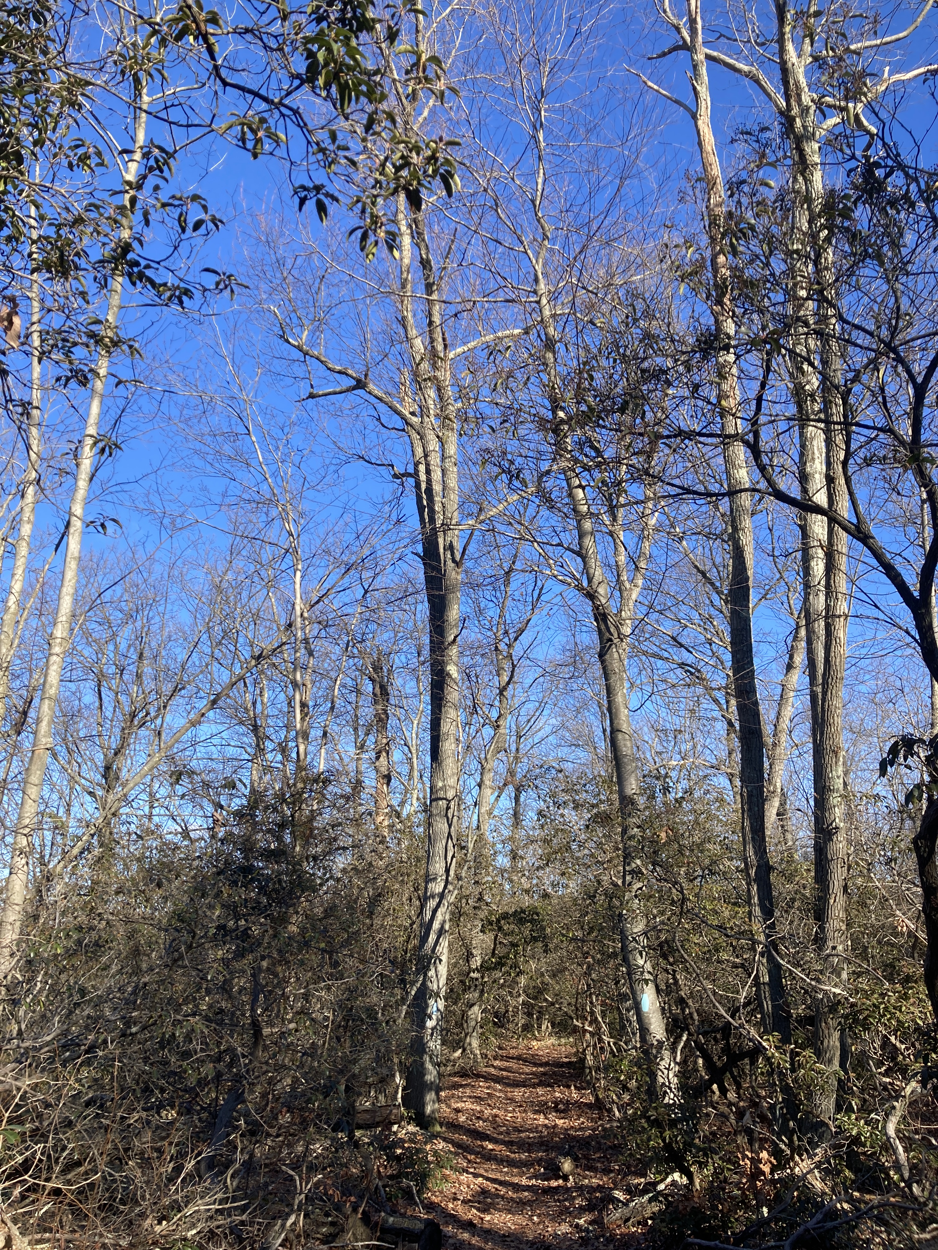
Devil’s Backbone, PCT
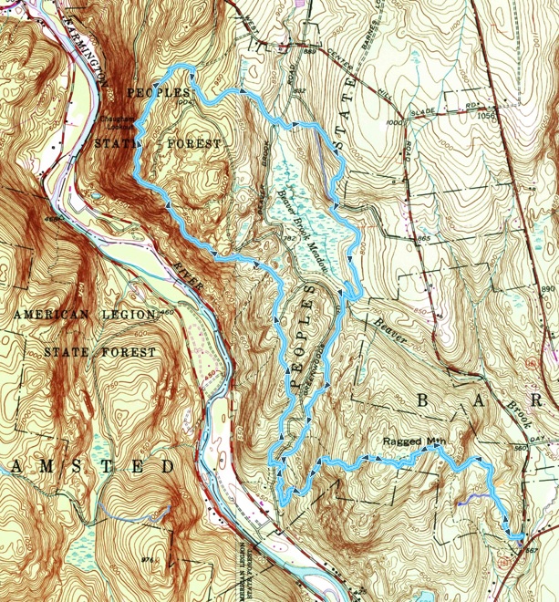
I live in New Haven County, Connecticut. The county holds more than two dozen towns and cities, 865,000 people, and even areas of field, hill, forest, and marsh. It might take me an hour to drive across it, even in light traffic. New Haven County’s land area is 605 square miles, which is also the size of Greater London in England. Now, the Pasayten Wilderness of north-central Washington covers 830 square miles and holds not so much as a hamlet, not a single permanent human resident. The Pasayten holds instead Cascade Range peaks, rivers, lakes, conifer forest, and—among the big charismatic beasts—mountain goats, bighorn sheep, wolf, lynx, and maybe a handful of grizzlies.
Perhaps not the kind of place to be entering when you are feeling under the weather. On Monday morning, soon after crawling out of her tent at our campsite near Mazama, Marjorie reported a sore throat. We wondered if the wildfire tang to the air in the area might have something to do with it and bought soothing tea when we went to the store for our backcountry supplies. After breakfast en route to the trailhead, Marjorie declined to abort our outing despite growing symptoms of a cold. As the day progressed, particularly as we hiked along the PCT, I could tell that she was suffering, but still she did not want to abort—not after a bad night’s sleep, not when we were about to turn off the PCT (our last practical turnaround point) for the greater emptiness and rougher trails of the river valley. I am glad we did not turn around, and Marjorie says she is too (which is not to say that she wasn’t mighty pleased to reach our car at Harts Pass on Wednesday).
DATES: Monday, September 18th to Wednesday, September 20th.
START & FINISH: A half-mile NE of Harts Pass (elev. 6,204 feet). Harts Pass lies, in turn, 18.7 mostly dirt miles NW of Mazama, WA (population 158). Trailhead GPS 48.724764, -120.663904.
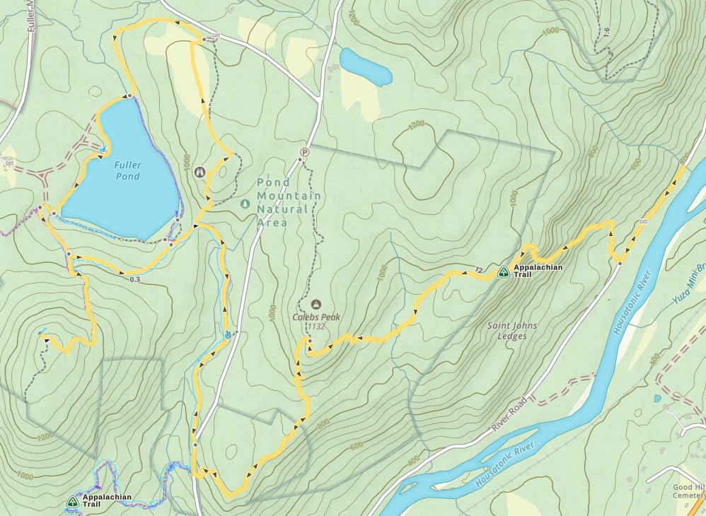
ROUTE: Pacific Crest Trail (PCT) north to Holman Pass; Trail 472A east to Holman Camp; Trail 472 south to Slate Peak; forest road down from Slate Peak to Finish.
DISTANCE: 25.4 miles.
Monday: 7.7 mi to Jim Pass on the PCT
Tuesday: 11.0 mi to West Fork Pasayten River ford on Trail 472 (GPS 48.787698, -120.699748)
Wednesday: 6.7 mi to Finish
TIME: Two days and two nights (lunchtime Monday to lunchtime Wednesday).
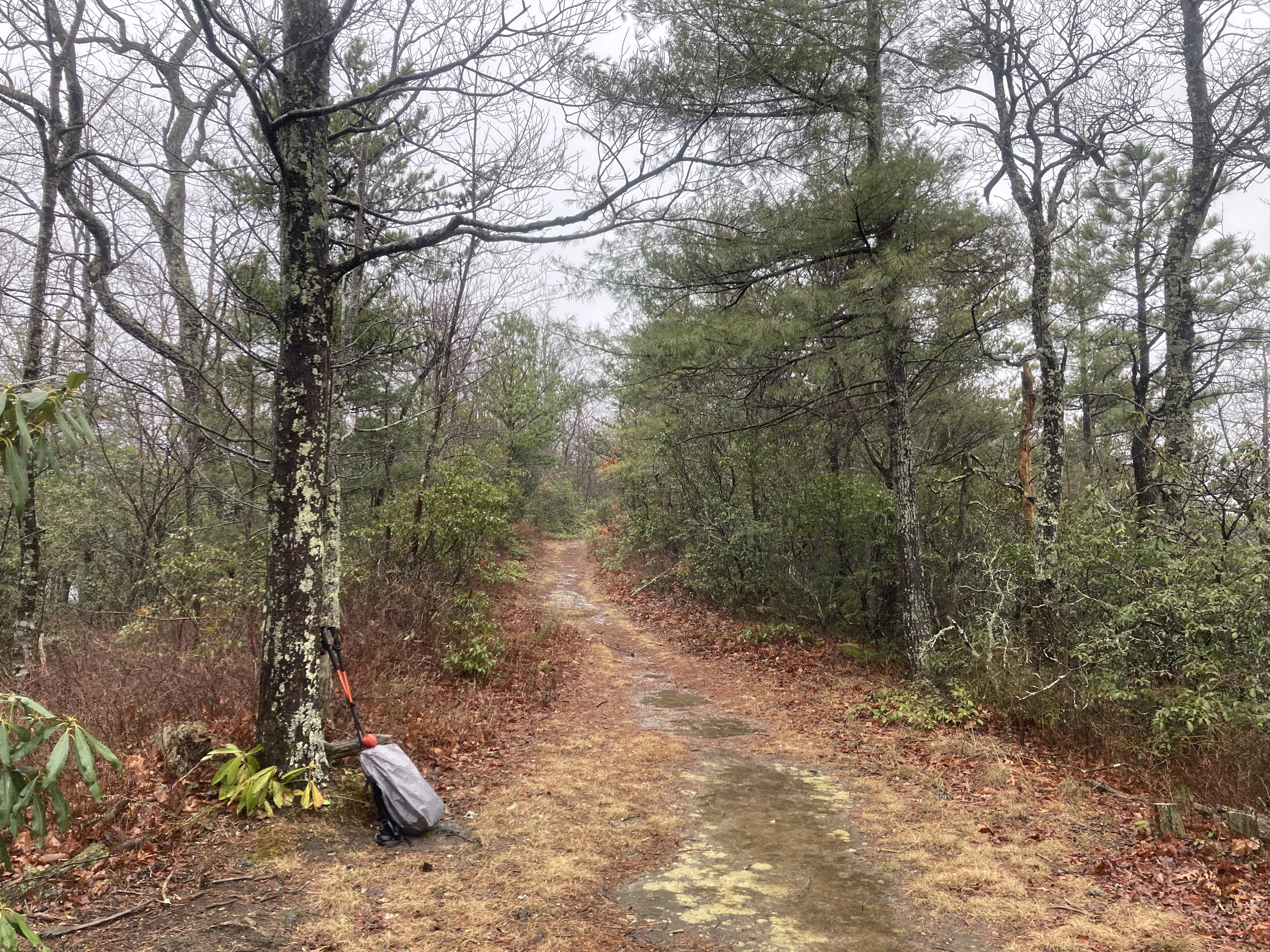
TERRAIN: The PCT was a breeze, in many ways the perfect trail. Rocks, roots, mud, steep grades? Not a chance. Trail 472A was mercifully short (1.8 miles) but fitted into that distance an impressive number of big blowdowns to clamber over, crawl under, or detour around. Trail 472 was pretty good for a wilderness trail and, in particular, was blowdown-free. The only significant ascent of the route is that from the West Fork Pasayten River to Slate Peak—2,000 feet, but accomplished gradually.
MAPS: On the Avenza app on my phone, Green Trails Maps 50 (Washington Pass) and 18 (Pasayten Peak). In case my phone became unavailable for some reason, we carried the latter (Map 18) in paper form. Except for the very beginning and end, the whole loop is shown on Map 18.
WEATHER: In the days running up to our hike, I kept an eye on the Mazama forecast, and kept in mind that the Pasayten, being higher up, would be colder. I assumed however, that if it was dry and sunny in Mazama, it would likely be fine in the Pasayten too. Monday bore out this assumption, Tuesday less so, and Wednesday not at all (or, of course, the weather may have turned in Mazama too). We expected Monday night to be chilly, but not so much that by dawn on Tuesday our tent flies would be frosted and our water would have begun to freeze. As I walked to the edge of the trees to retrieve our bear barrel, there were flakes in the air. The flakes did not last, but Tuesday stayed overcast. Then, meeting a PCT thru-hiker hurrying happily back to Harts Pass after reaching Canada 18 miles north, we got the news that measurable snow would arrive overnight. We camped Tuesday night around 5,100 feet up. When some sort of precipitation hit our tents during the night, it sounded at worst like wet snow. And, indeed, shining a headlamp outside an hour before dawn revealed not a trace of white. But as we packed and breakfasted and it grew lighter, we saw the snow on the ridge behind us, the ridge where we were heading. Mostly, the snow we encountered that morning was just pleasantly decorative but, emerging from the trees at 6,500 feet to cross Slate Peak, the breeze and snow picked up and the course of the trail ahead became at times unnervingly hard to pick out.
WILDLIFE: Grouse; a Douglas squirrel; a marmot; and a deer of some sort, possibly elk, glimpsed incompletely by Marjorie.
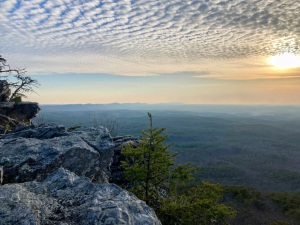
UPS: Scenically, the PCT was the highlight. Wednesday’s climb over Slate Peak may have matched the PCT had the scenery been more visible through snow and cloud. Overall, the big high was spending three days with Marjorie in such a special place.
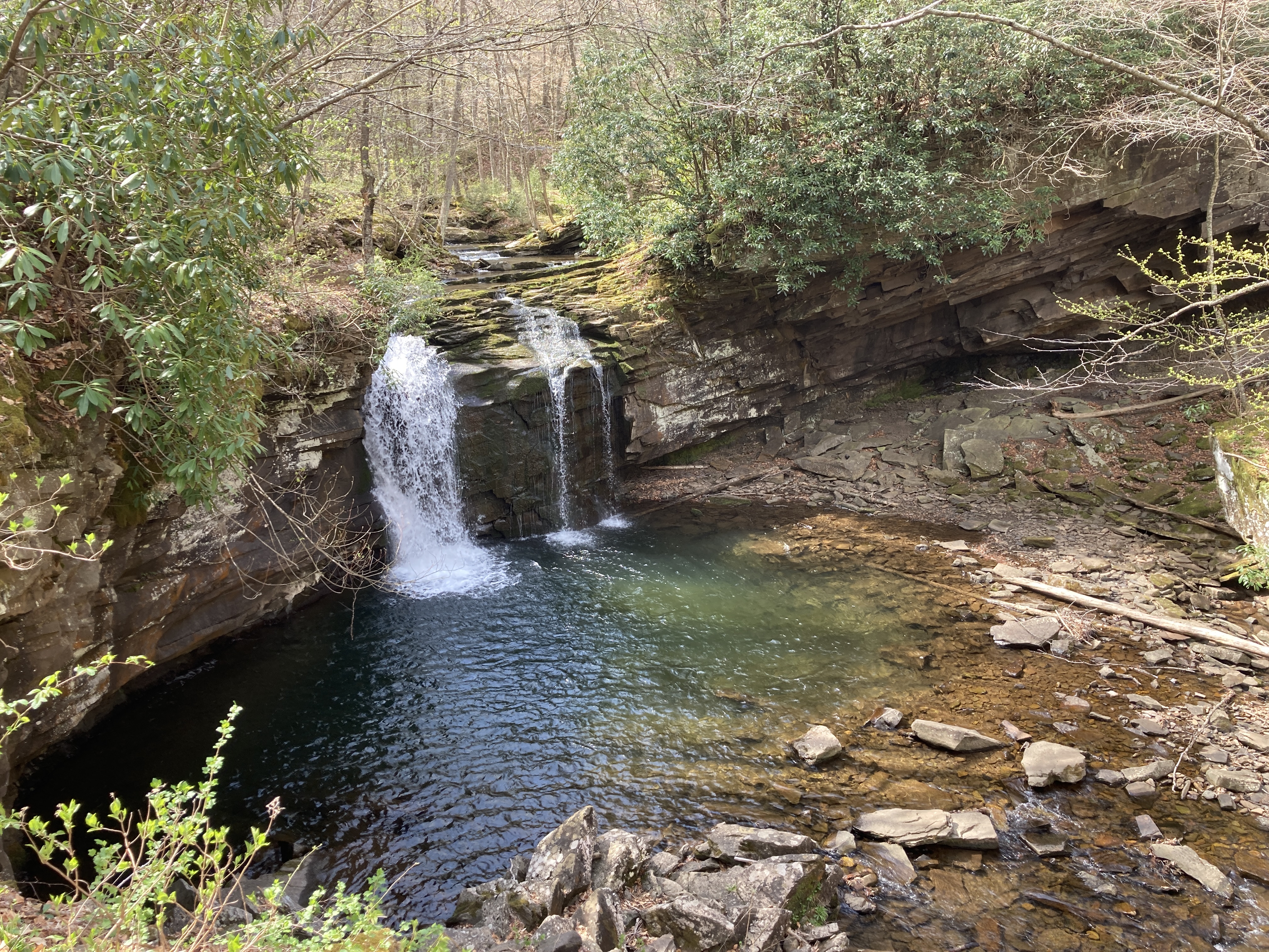
DOWNS: Apart from Marjorie’s cold (see introduction), we had to ration our water on Monday evening and Tuesday morning before finding flow in Shaw Creek. Even there, we had to wait for our filters to thaw out!
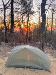
KIT: (1) I bought a new (olive green) Big Agnes backpacking tent for this adventure and bequeathed my old Big Agnes to Marjorie; (2) Bears: we shared a bear barrel, but decided against carrying spray (Cascades grizzlies are very few in number and black bears just aren’t as intimidating, we reasoned).
COMPANY: A tale of two trails: We met other hikers on the PCT; after we turned off it, we were alone.
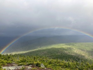
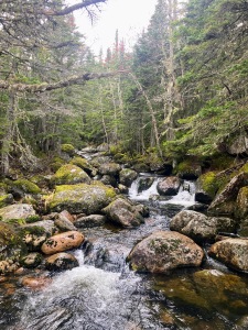
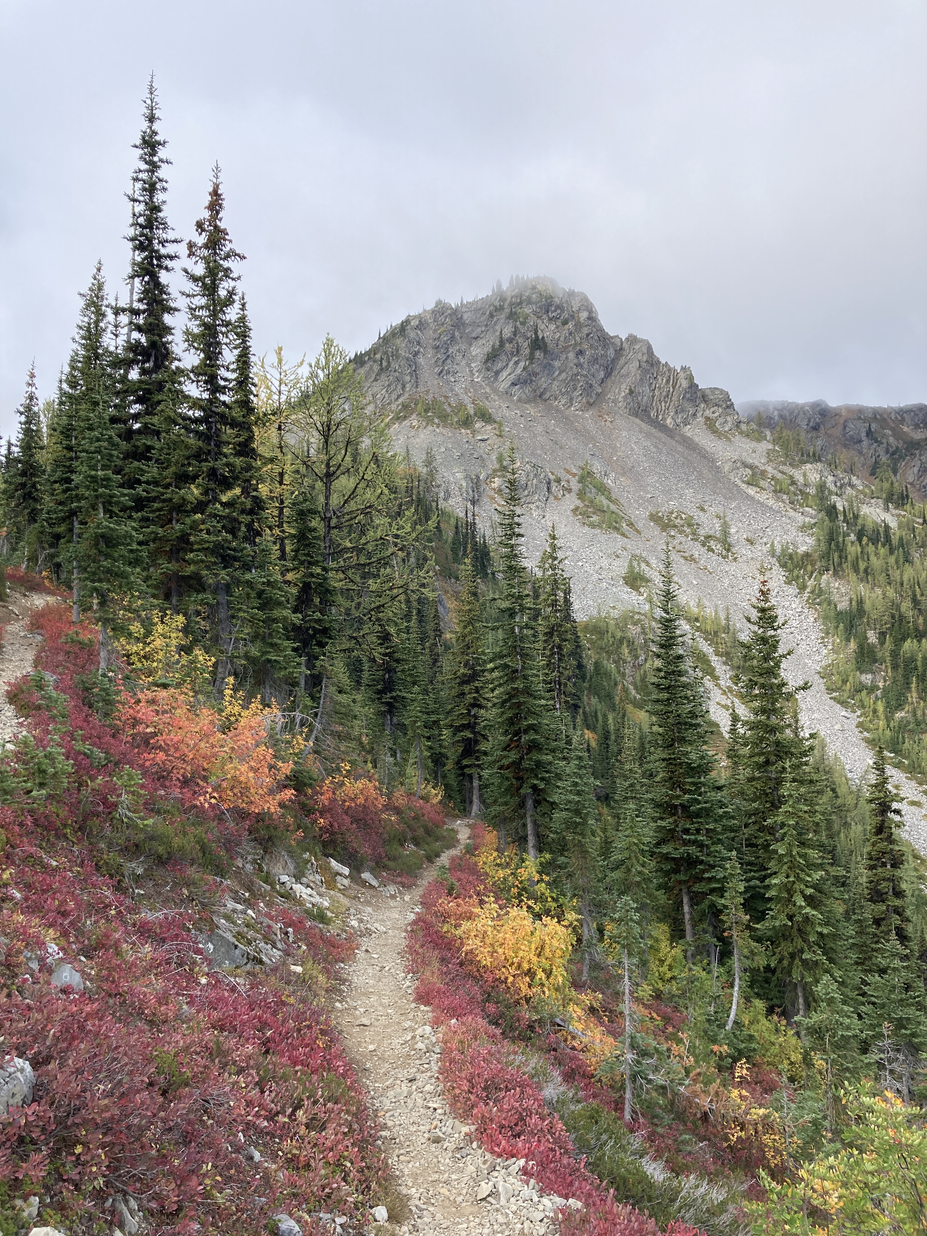
PICTURES:
-
-
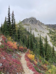
Just before we headed out
-
-
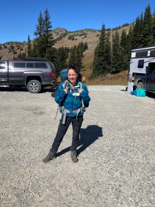
Just after we headed out—looking west toward Jack Mountain (center, snow on slopes) and Crater Mountain (left of center)
-

-
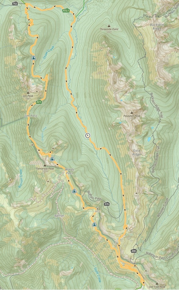
Mini larch—a deciduous conifer
-
-
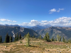
West of the PCT—Crater and Jack again (right of center), and (center left) the snowfields/glaciers of, well, Snowfield Peak (22 miles distant) merge seamlessly with the clouds
-

-
Tamarack Peak (far right), toward which we were heading
-

-
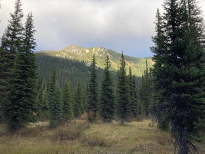
Looking north from the PCT—Pasayten Peak (highest, just left of center) across the valley of West Fork Pasayten River
-
-
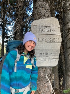
Formally entering the wilderness
-
-
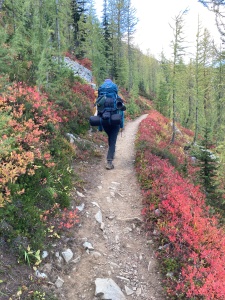
Marjorie, backpack, red huckleberry
-

-
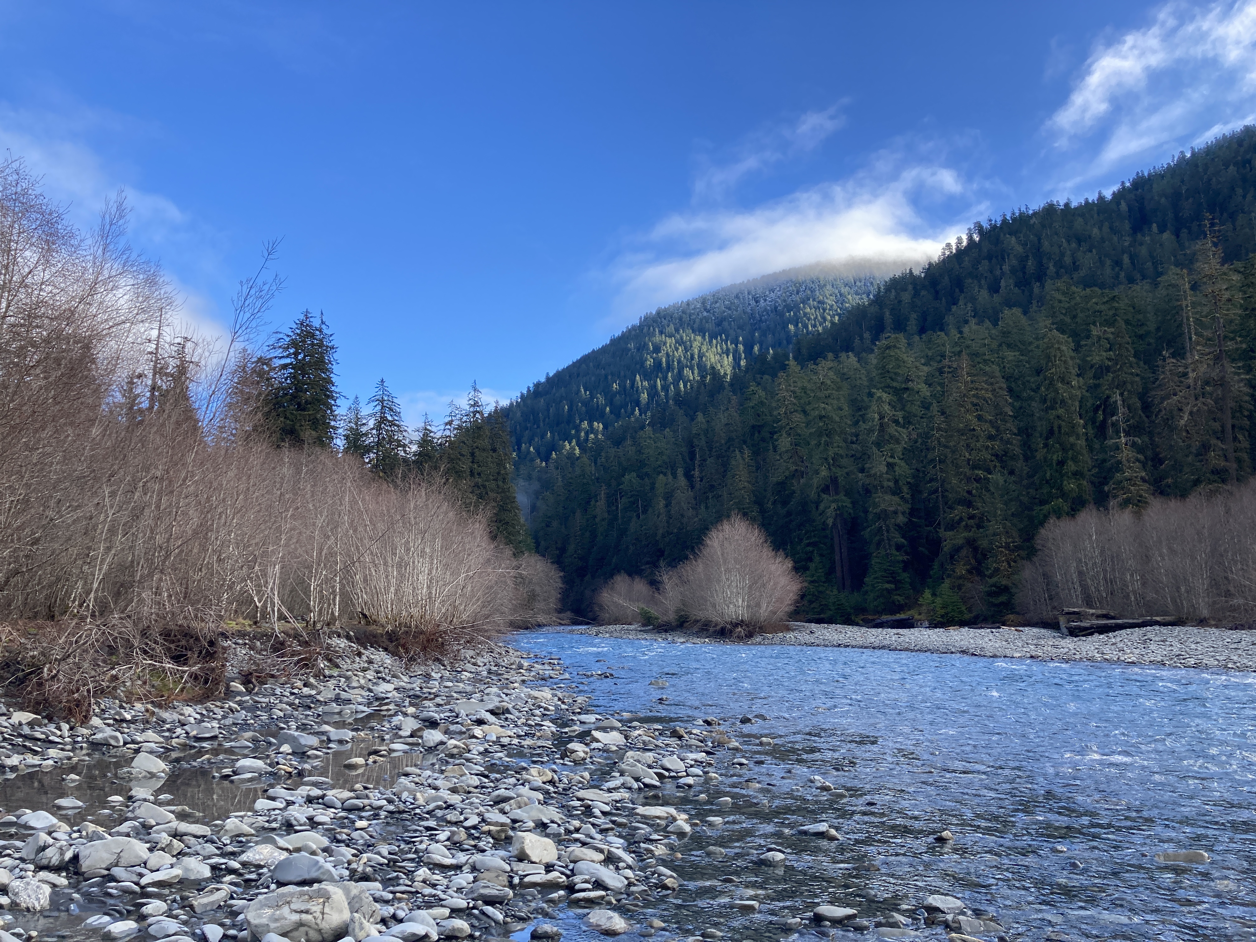
Valley of West Fork Pasayten River—we would descend into it the next day
-

-
Tuesday morning—frosty tents and backpacks
-
-
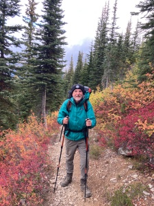
A happy backpacker
-

-
Valley of West Fork Pasayten River again, from Shaw Creek, where we found water
-
-
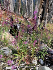
Fireweed, appropriately
-
-
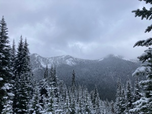
Tuesday evening—Goat Ridge, behind our campsite on the West Fork
-

-
Wednesday—grouse on Trail 472
-
-
The PCT ridge, now to our west and in changed weather
-
-
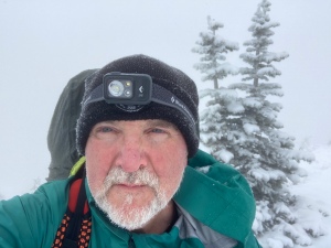
On Slate Peak (someone forgot to remove his headlamp when it got light 😉)
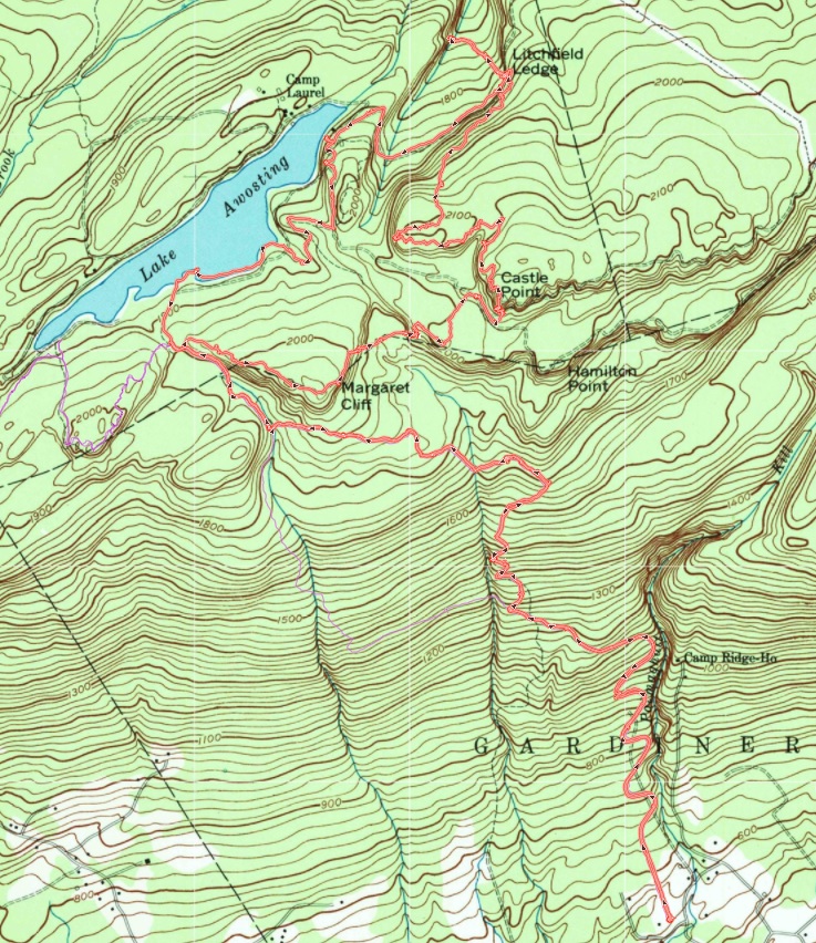
MAP:
(Start at bottom. Camp 1 was at Jim Pass, camp 2 on the river a little south/down from an imagined Jim Pass-Pasayten Peak line.)